Baja California Sur Weather (wx) stuff
With great thanks to the EEBMIKE.COM site! RIP eebMike :(
Tropical storm and Hurricane information for La Paz and Los Cabos, Baja California Sur, México
Much of this data comes from the US National Hurricane Center, of course.
Hurricane Trudy

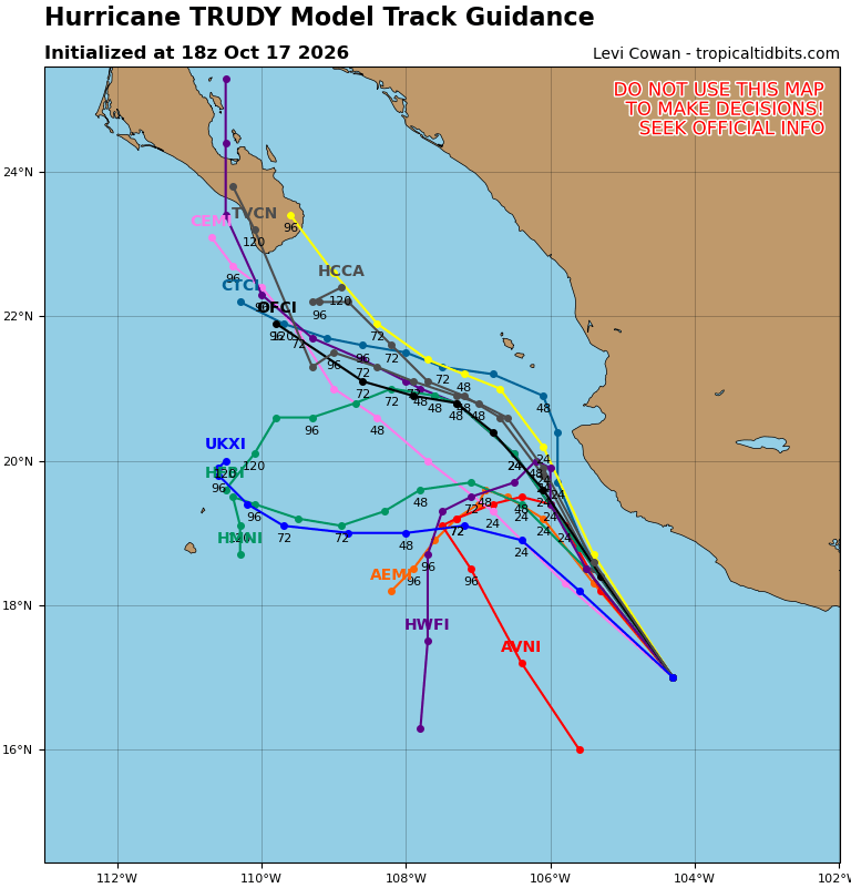
Issued at 900 AM CST Sat Oct 17 2026
000
WTPZ41 KNHC 171438
TCDEP1

Hurricane Trudy Discussion Number  17
NWS National Hurricane Center Miami FL       EP212026
900 AM CST Sat Oct 17 2026

Trudy is slowly becoming better organized. The hurricane is
producing a large central dense overcast with cloud tops colder than
-80C, and curved bands of overshooting tops in the CDO indicate an
eyewall is present underneath it. The various satellite intensity
estimates are starting to increase, but not enough yet to support
raising the intensity. Thus, the initial intensity remains 80 kt.

The hurricane is moving a little faster toward the northwest, 325/9
kt. A continued northwestward motion is expected during the next day
or so as a weak low- to mid-level ridge builds over eastern Mexico.
This general motion should continue for the next 36 h or so,
bringing the center of Trudy very close to the coast of west-central
Mexico. Thereafter, as Trudy weakens and becomes steered mainly by
low-level flow, a turn toward the west and west-northwest is
expected, taking the cyclone away from the coast. The new track
forecast has only minor adjustments from the previous forecast, with
the center making its closest approach to the coast of Mexico around
36-48 h.

Now that Trudy is over water with a higher oceanic heat content,
some strengthening is possible. However, moderate vertical shear,
dry air entrainment, and increasing land interaction could limit how
much strengthening may occur. After 24 h or so, increasing
southwesterly shear and decreasing mid-level moisture near the
cyclone are likely to cause steady to rapid weakening even when the
center would be moving away from the coast of Mexico. Current
expectations are that the system will stop producing convection
between 72-96 h and decay to a remnant low pressure, and the global
models forecast the circulation to weaken to a trough by 120 h. The
new intensity forecast has some tweaks from the previous forecast,
and it lies near the upper edge of the intensity guidance envelope.


KEY MESSAGES:

1. Trudy could strengthen some during the next 12 hours or so as it
approaches the coast of southwestern and west-central Mexico this
weekend, bringing an increasing risk of storm surge, damaging winds,
and flooding rain. Hurricane Warnings and Watches, as well as
Tropical Storm Warnings and Watches, are currently in effect for
portions of the coast, and additional watches and warnings may be
required.

2. Heavy rainfall associated with Trudy will impact the southwest
Mexican coast between Guerrero and Nayarit through the weekend. This
rainfall may produce life-threatening flooding and mudslides this
weekend along and near the southwest Mexican coast in Michoacán,
Colima, and Jalisco, especially in areas along steep terrain.

3. Large swells are affecting portions of the coast of southwestern
Mexico and will spread northward through the weekend, causing
life-threatening surf and rip current conditions.


FORECAST POSITIONS AND MAX WINDS

INIT  17/1500Z 16.6N 103.9W   80 KT  90 MPH
 12H  18/0000Z 17.7N 104.8W   90 KT 105 MPH
 24H  18/1200Z 19.1N 105.7W   90 KT 105 MPH
 36H  19/0000Z 20.1N 106.4W   85 KT 100 MPH
 48H  19/1200Z 20.7N 107.0W   65 KT  75 MPH
 60H  20/0000Z 20.9N 107.5W   45 KT  50 MPH
 72H  20/1200Z 20.9N 108.2W   35 KT  40 MPH
 96H  21/1200Z 21.7N 109.4W   25 KT  30 MPH...POST-TROP/REMNT LOW
120H  22/1200Z...DISSIPATED

$$
Forecaster Beven

Tropical cyclone forecast

Other forecast sites:
Talk Baja: Daily Baja Weather Forecast
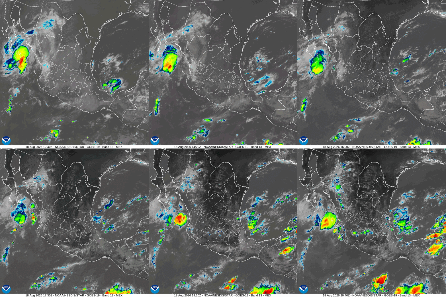
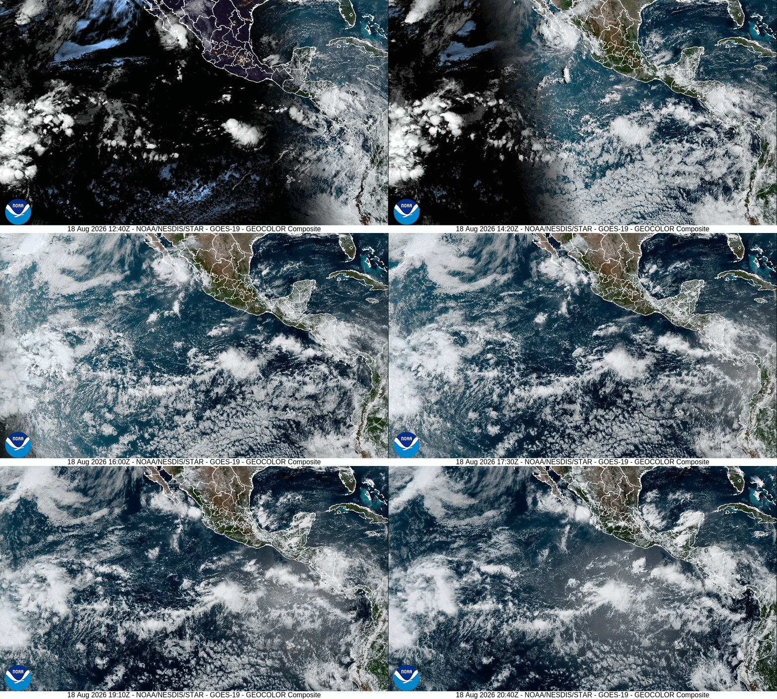
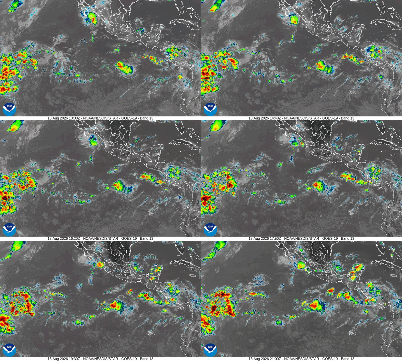
Baja California satellite loops
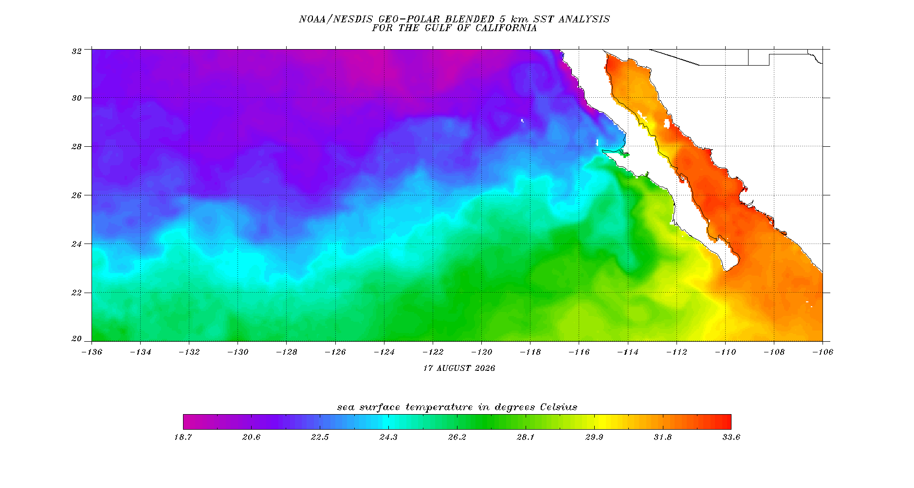
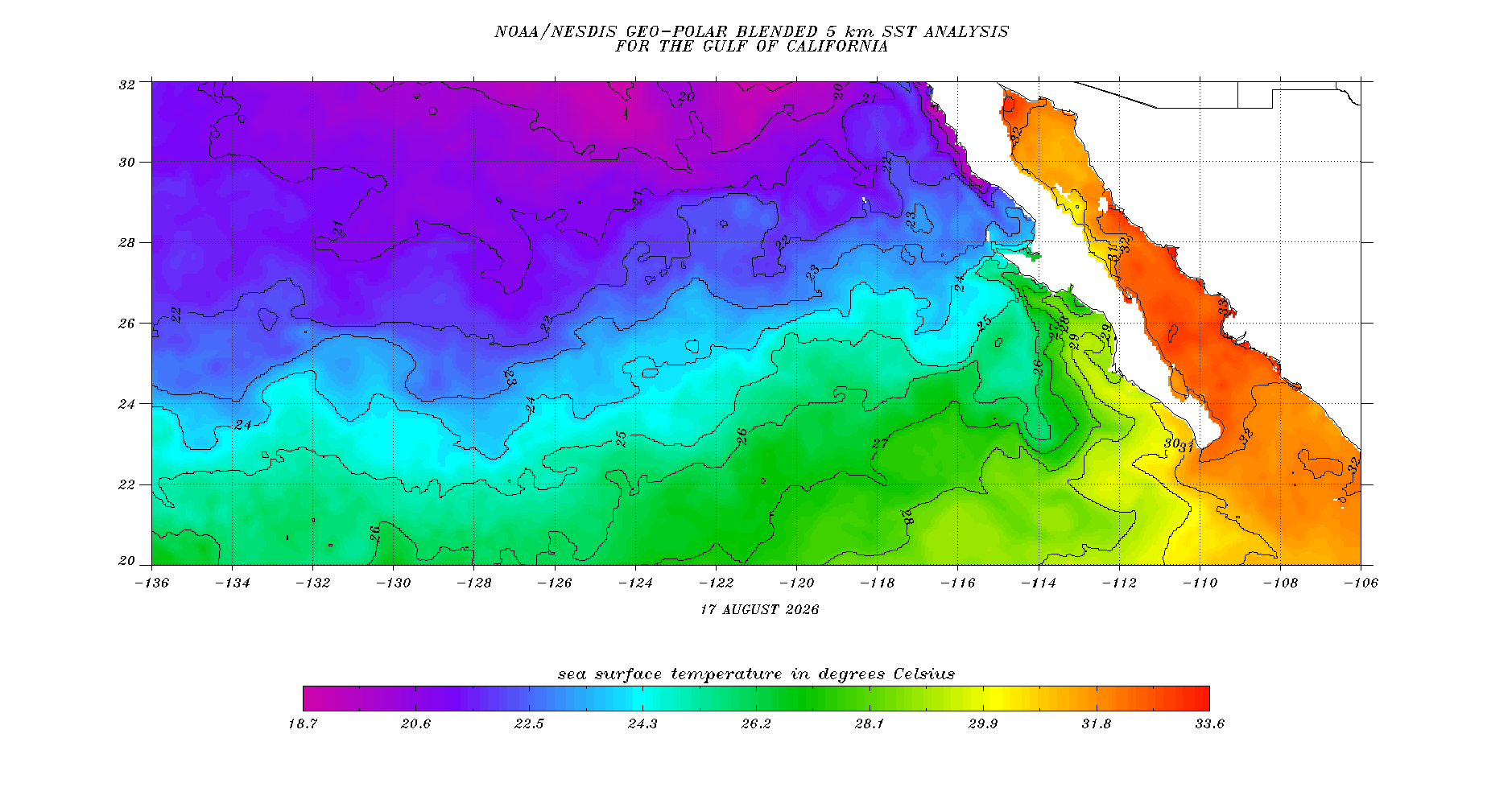
Baja California sea surface temperatures
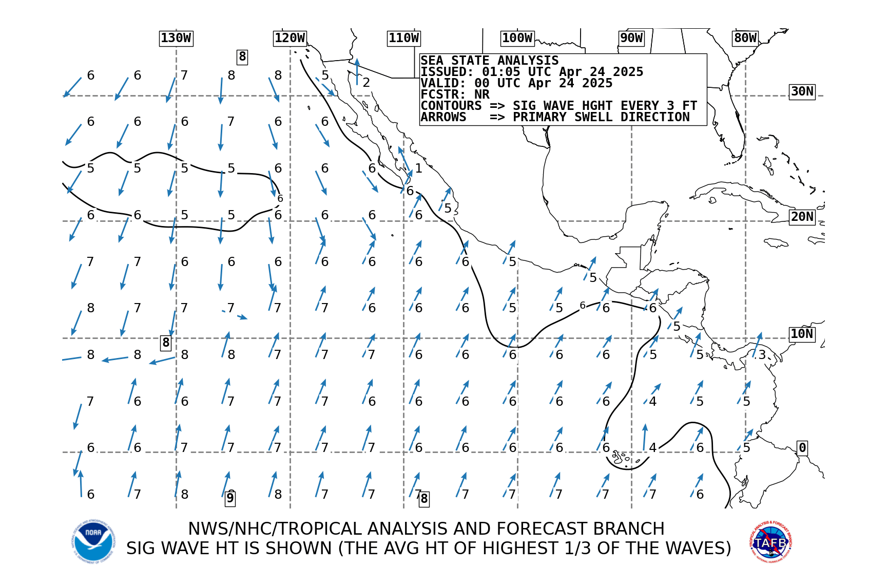
Baja California forecast charts

Historical storm tracks
1990s |
2000s |
2010s |
2020s |